
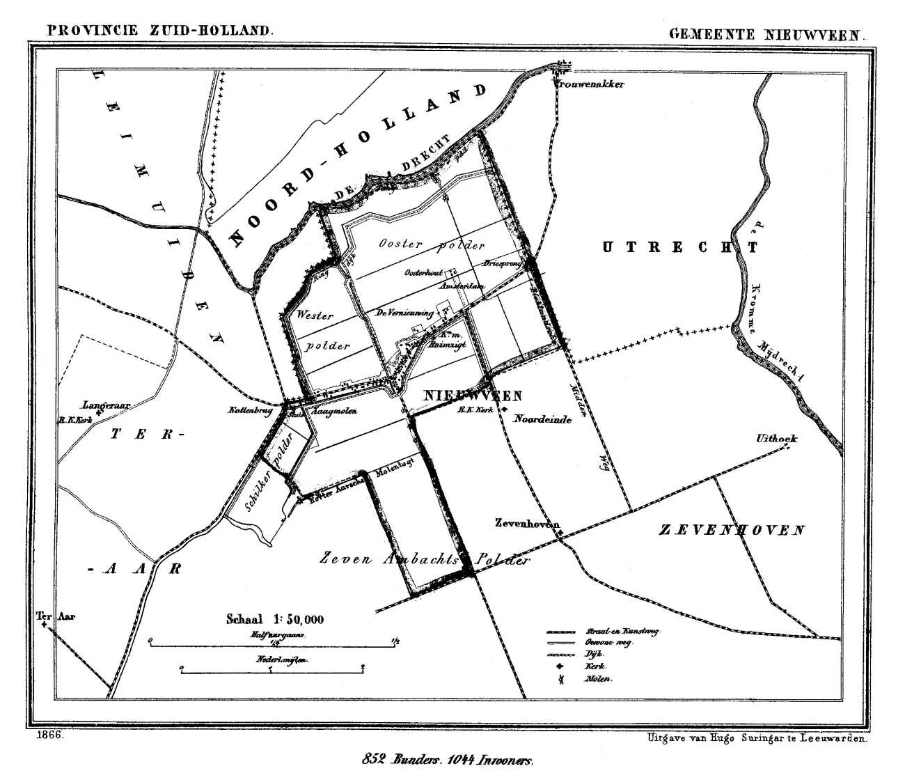
A municipal map of Nieuwveen from J. Kuyper's atlas of the Netherlands, around 1866.
About this image
- Dated
- between 1865 and 1870 date QS:P,+1850-00-00T00:00:00Z/7,P1319,+1865-00-00T00:00:00Z/9,P1326,+1870-00-00T00:00:00Z/9
- Licence
- Public domain
This image is free of rights. No credit is required; its origin is given here regardless.