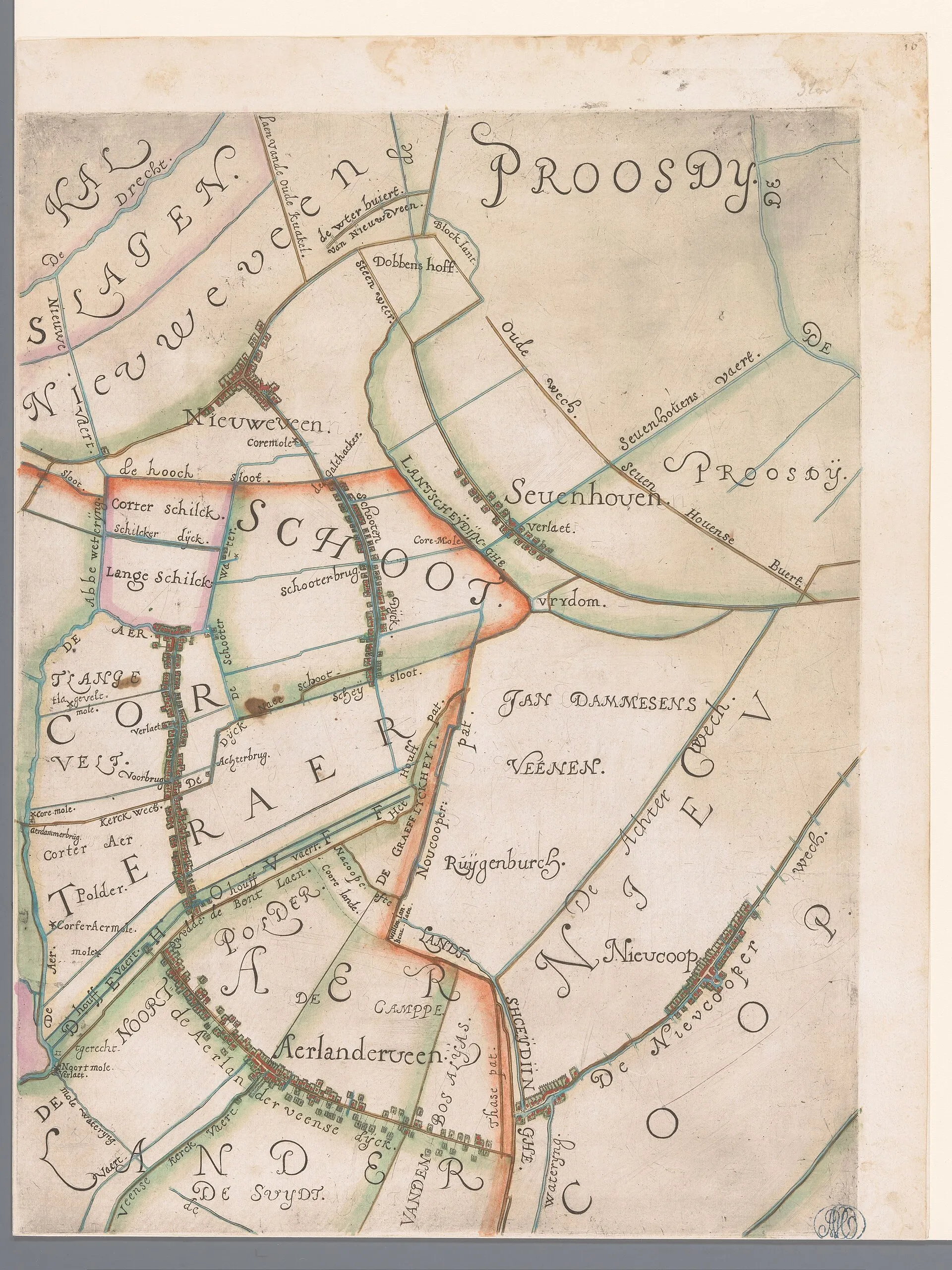
A hand-coloured 1615 map of the Rijnland water board, showing Nieuwveen and Nieuwkoop among the waters.
About this image
- Dated
- 1615
- Licence
- CC0
This image is free of rights. No credit is required; its origin is given here regardless.
This image is free of rights. No credit is required; its origin is given here regardless.