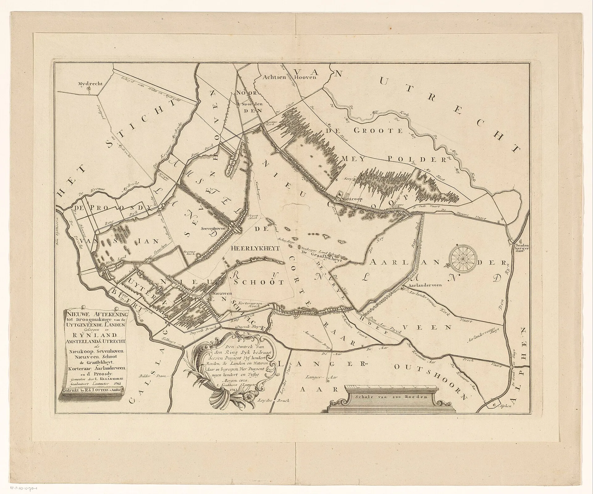
A 1742 map of the peat-dug lands around Nieuwkoop, Zevenhoven and Nieuwveen, drawn with drainage in mind.
About this image
- Dated
- 1742
- Licence
- CC0
This image is free of rights. No credit is required; its origin is given here regardless.
This image is free of rights. No credit is required; its origin is given here regardless.